BACK TO NATURE
The Drip
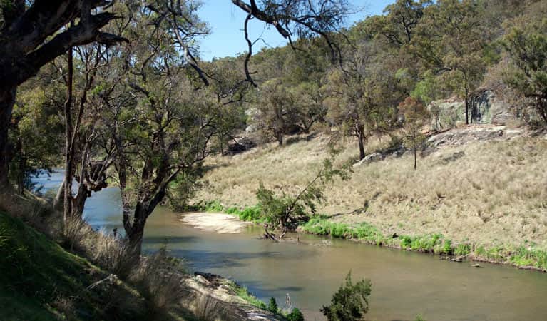
This popular site is located in the Goulburn River State Conservation Area, on the extreme western boundary of Goulburn River National Park. The walking track follows the Goulburn River to the Great Dripping Wall. Known as The Drip, this towering 35m sandstone cliff face is adorned with weeping grasses and ferns, dripping clear spring water into the river below.
Beginning and ending at the carpark, the walk is abundant with kid-friendly swimming spots along the sandy riverbed where kids can paddle, but check the NPWS website for advice regarding alerts and closures at the time you plan to visit.
Where: The Drip picnic area and walking track is situated 50 km (35 min) north of Mudgee on the Ulan-Cassilis Road (37km from Gulgong) and 10km past the village of Ulan. Look for signposting just north of the Ulan coal mine precinct.

Goulburn River National Park
With its forest and riverside setting, the Goulburn River National Park, near Mudgee, offers lots of opportunity for swimming, fishing and bush walking.
The park stretches along 90km of the river, and its wide, sandy banks and forest landscape offer easy walking and good swimming – particularly in summer – as well as some amazing birdwatching. When you’re not birdwatching, keep an eye out for eastern grey kangaroos, red-necked wallabies and wombats, which are also common in this area.
Putta Bucca Wetlands
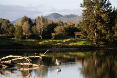
Located off Putta Bucca Road just north of Mudgee, this waterbird paradise exhibits a wide range of flora and fauna. Easily accessed with a parking area and includes an easy 2km walk and two newly built birdhides. This is a recreational area for birdwatching, bicycle riding, fishing and walking.
Dunns Swamp
Dunns swamp, or Ganguddy as it is known to local Aboriginal people, is a beautiful, serene waterway located on the western edge of Wollemi National Park on the Cudgegong river. There are a number of walking tracks that range from easy to medium grading, including the Weir and Cave walks. Ganguddy is also perfect for other low-key recreational activities, from birdwatching and fishing to canoeing and swimming.
Dunns Swamp sits roughly 28 kilometres east of the historic town of Rylstone.

Ferntree Gully
This reserve protects an area of unique rainforest and western plant communities. The track to Ferntree Gully turns off Bylong Valley Way 17km from Rylstone. It is a further 3 km on an unsealed track to the picnic area and start of walk.

Hands on Rock
The stencils of hands were made by the Wiradjuri people who occupied most of the Central West of what is now New South Wales, and were one of the largest Aboriginal language groups. This heritage site is about 12km east of Ulan and 2km on the left-hand side past the entrance to ‘The Drip’. To get there, turn left off the Ulan-Cassilis Road at the Bobadeen Road sign, turn sharp left again, and drive 500 metres to the car park.

Castle Rocks Walk
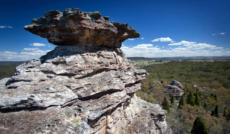
It’s an easy hike along Castle Rocks walk to the lookout for wonderful scenic views of the sandstone pagoda features found at Munghorn Gap Nature Reserve.
Make your way to the Castle Rocks walk trailhead carpark located around 25 minutes North East of Mudgee.